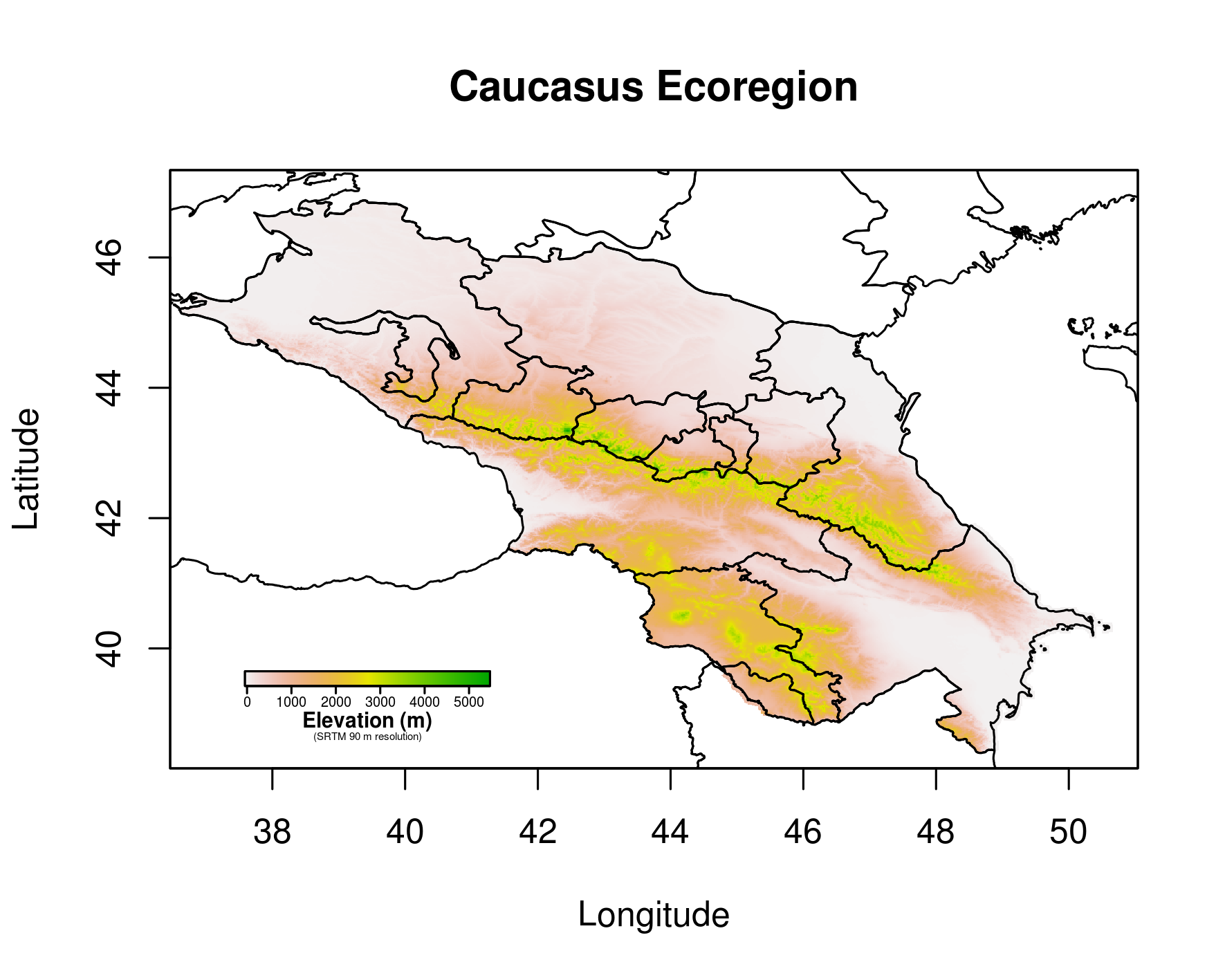
Relief map of the Caucasus Ecoregion.
After compiling a raster file and shapefile of the North Caucasus in Raster Basics 1, we can now make a raster of the entire Caucasus Ecoregion and plot it together with all country borders.
The R script loads raster and shapefile of the North Caucasus (download from Raster Basics 1 page) by importing both from the working directory. The raster is loaded using the „raster“ function of R’s „raster package“ and the shapefile is loaded using „readOGR“ of R’s „rgdal package“.
Raster and shapefile information of Georgia, Azerbaijan and Armenia are loaded using the getData function of the „raster package“, just as done in Raster Basics 1 for the North Caucasus but without any editing afterwards.
The rasters are then combined with the mosaic function and plotted under the country borders. Done.
Do you like the result?